15 Incredible Joshua Tree Hikes to Explore the Desert
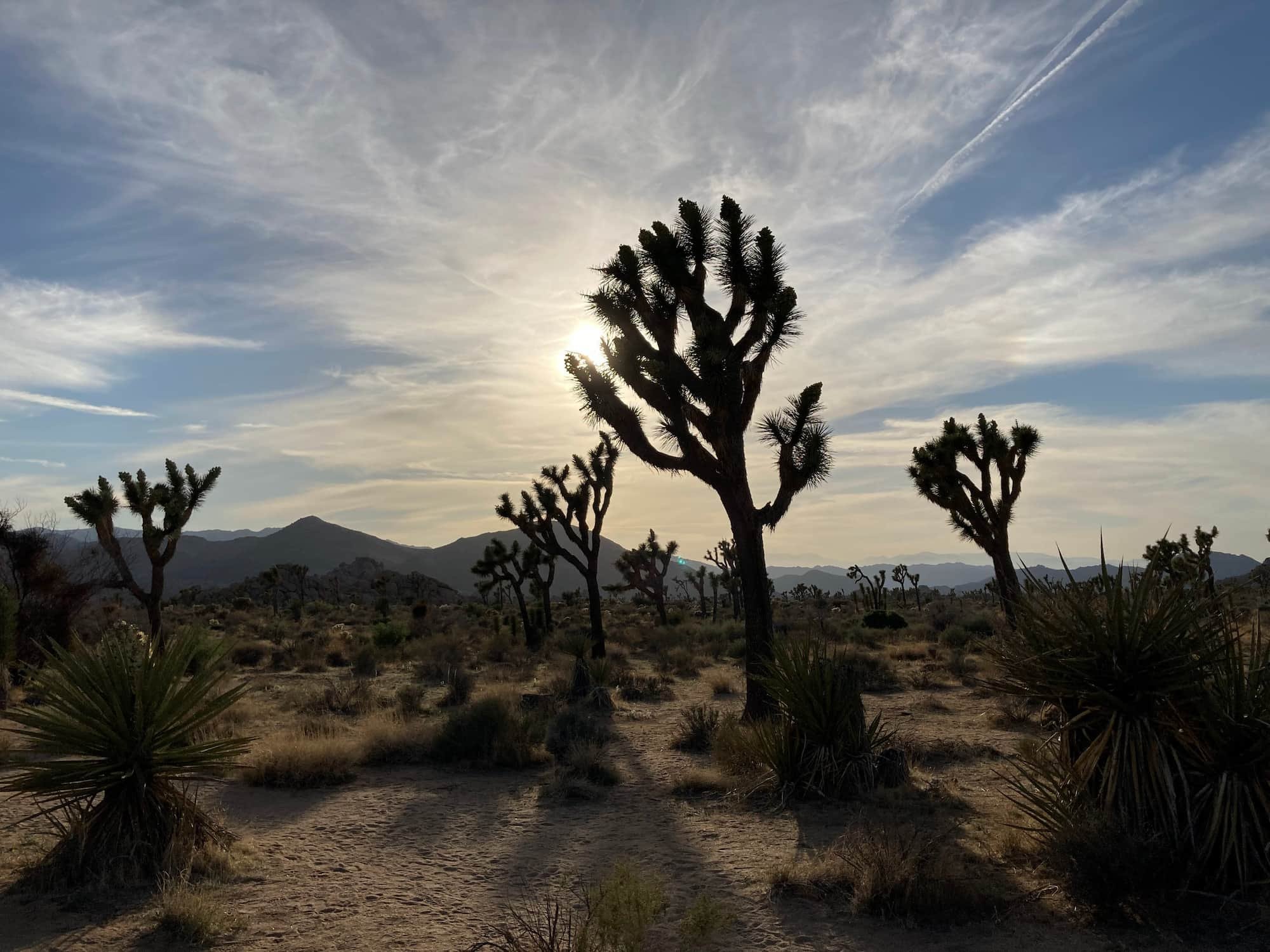
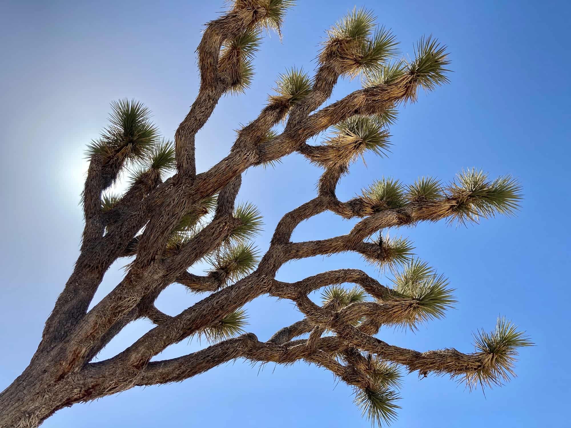
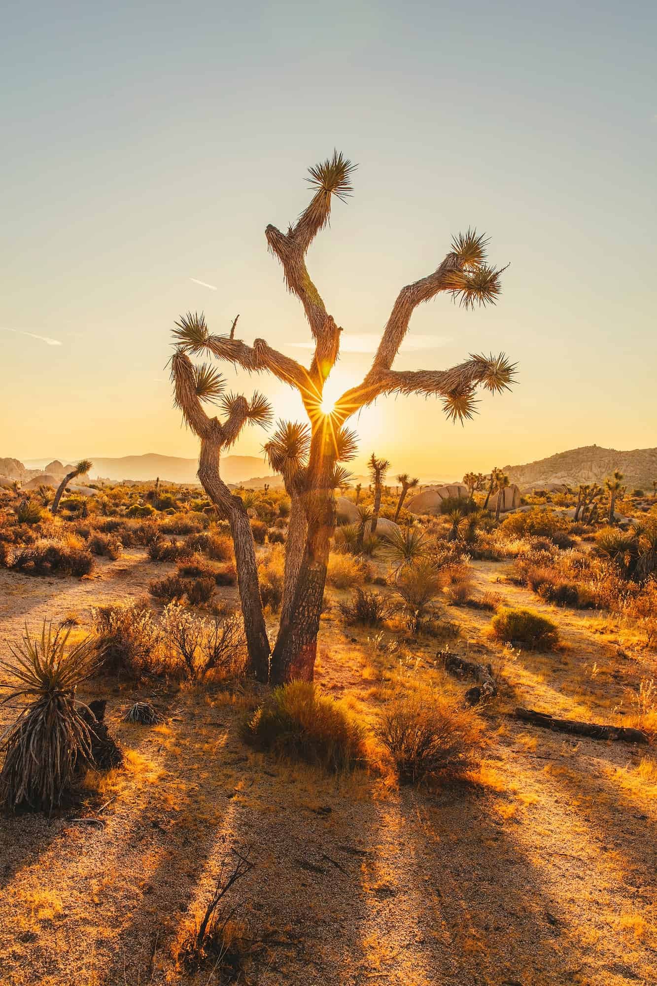
Entering Joshua Tree National Park is like landing on another planet – the landscape of rock formations and gnarled Joshua trees is simply otherworldly. To fully explore this crazy cool desert landscape, you’ll want to try one (or many!) of the amazing Joshua Tree hikes in the park.
Joshua Tree hiking is truly choose-your-own-adventure, from short hikes around weird rocks, to a backpacking trip across the desert, to summitting a peak (with views of more peaks in the distance), you’ll find something for everyone here in this vast space in southern California.
ABOUT THIS GUIDE TO THE BEST JOSHUA TREE HIKES
We’ve organized the list of hikes in Joshua Tree by difficulty, so you can easily find a perfect hike for you! Since everyone has a slightly different gauge of what is “easy” or “difficult” hiking, here is how we’ve defined the list:
Best Easy Hikes in Joshua Tree - These hikes are under 3 miles with less than 300 feet of elevation gain.
Best Moderate Hikes in Joshua Tree - These hikes are 3-6.5 miles AND less than 1,000 feet of elevation gain.
Best Difficult Hikes in Joshua Tree - These hikes are over 6.5 miles OR over 1,000 feet of elevation gain.
WHEN TO VISIT JOSHUA TREE
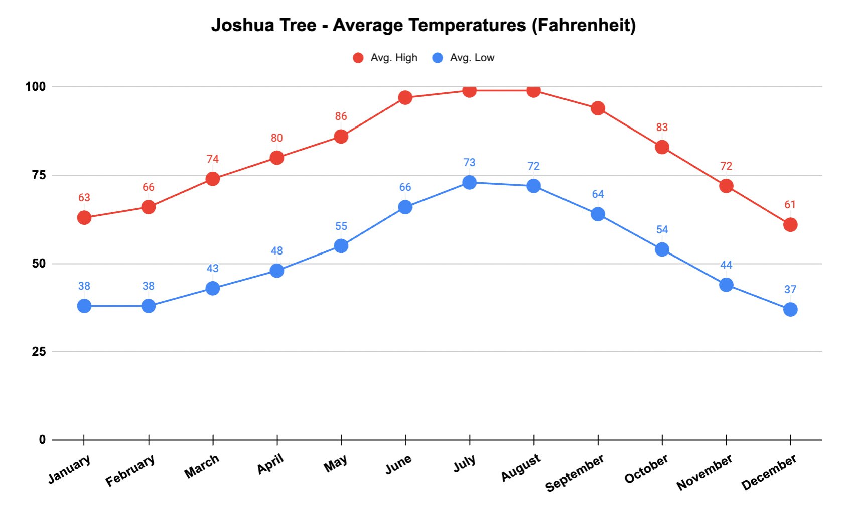
Joshua Tree is a desert environment, meaning the summers are extremely hot and the winters can bring storms and even snow. The best time to visit Joshua Tree is fall or spring.
If you do choose to visit Joshua Tree National Park in the summer months, be prepared for brutal heat and little to no shade on most Joshua Tree hikes. Bring plenty of water, electrolytes, and sunscreen if you do attempt to hike any trails in Joshua Tree in the summer.
JOSHUA TREE ENTRANCES
Joshua Tree National Park spans nearly 800,000 acres and has three separate entrances. The best entrance option will depend on where you’re staying and the location of the hikes you want to do.
West Entrance (Joshua Tree): The west entrance is the first entrance if you’re coming from Los Angeles or Palm Springs, so it is definitely the most popular entrance to the park. This means that on busy days, the line to get in can be quite long.
North Entrance (Twentynine Palms): The North Entrance tends to be less busy so you can avoid the lines and is especially convenient if you’re staying in Twentynine Palms or coming from Las Vegas.
South Entrance (Cottonwood Spring): The South Entrance is the least popular entrance and is farther away from most of the popular hikes. It’d only be a good choice if you’re coming from Phoenix, New Mexico, or nearby Indio.
Note: The entrance fee is $30 per vehicle for a 7-day pass. A Joshua Tree National Park Annual Pass is $55, and an America the Beautiful National Parks Pass is $80.
JOSHUA TREE CAMPING
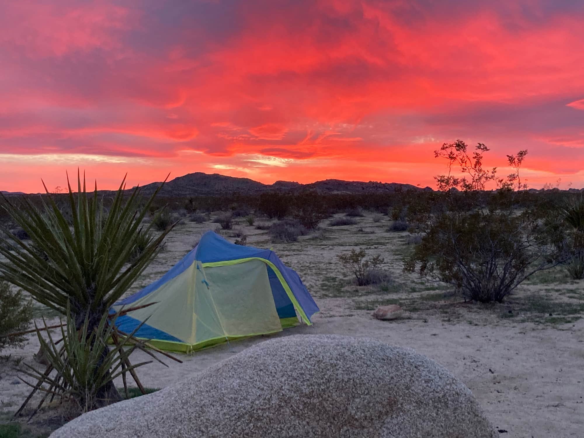
If you want to stay and explore Joshua Tree for a while (and I highly recommend that you do!), you’ll find plentiful camping in and around Joshua Tree. From official campgrounds in the park to BLM land nearby to private campgrounds outside the park, there are lots of options for camping near Joshua Tree.
CAMPGROUNDS IN JOSHUA TREE NATIONAL PARK
Joshua Tree National Park has 8 different campgrounds located throughout the park. Five of the campgrounds can be reserved ahead of time through recreation.gov, while 3 of the campgrounds are first-come/first-serve.
RESERVED CAMPGROUNDS
Five of the campgrounds in Joshua Tree are available to reserve in advance – Black Rock Campground, Cottonwood Campground, Ryan Campground, Jumbo Rocks Campground, and Indian Cove campground. Sites at these campgrounds range from $20-25/night.
FIRST-COME/FIRST-SERVE CAMPGROUNDS
Three campgrounds in Joshua Tree are available on a first-come/first-serve basis – Hidden Valley Campground, Belle Campground, and White Tank Campground. All of these campgrounds are $15/night.
It can be extremely difficult to get a site at the first-come/first-serve campgrounds in Joshua Tree, especially during weekends in spring or fall. On a recent trip to Joshua Tree, our Content Manager Kate couldn’t find a spot on Friday afternoon, but came back on Saturday morning and was lucky enough to snag what seemed to be the last available spot in the park! Persistence pays off if you want one of these coveted sites, but it’s good to have a back up plan if you can’t find an open site.
Note: Most of the campgrounds in Joshua Tree National Park don’t have water (except Black Rock & Cottonwood), so you have to bring in all the water you need for your stay. You can fill up water jugs at the Indian Cove Ranger Station, the West Entrance Station, and Park Headquarters.
CAMPING OUTSIDE THE PARK
If you can’t find a campsite inside the park (or just prefer to camp outside of it), you still have lots of convenient options for camping outside Joshua Tree National Park.
BLM LAND
If you want to dispersed camp for free, there are a few great Bureau of Land Management spots near Joshua Tree National Park.
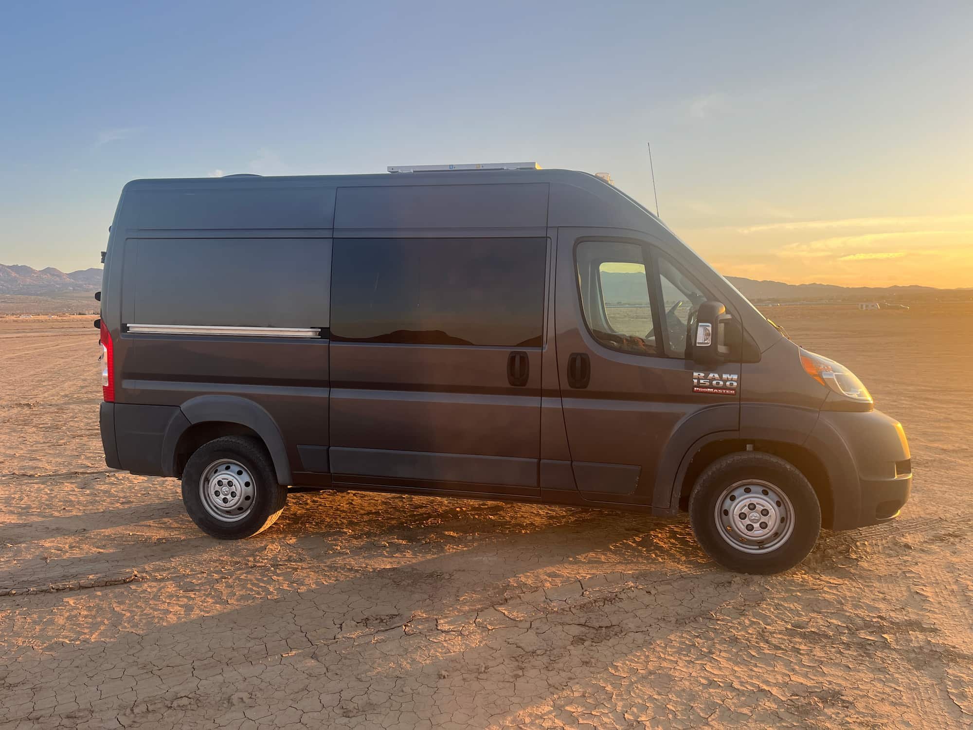
Michael & I recently stayed on BLM Land in a dry lake bed north of the park, which is a really convenient spot for the North and West park entrances, as well as Indian Cove. It was easy to get to and didn't require any 4WD or high clearance (though if it were really rainy I could see it getting muddy and being a bit of a mess). The GPS coordinates for this spot are 34.1715000, -116.2291389.
On the south side of the park, you can also find free camping on BLM land right outside the Joshua Tree South Entrance.
PRIVATE CAMPGROUNDS
Many private campgrounds operate outside Joshua Tree National Park, and these can be especially nice if you’re in an RV. Some of the campgrounds also offer tent sites, including Joshua Tree Lake Campground and Joshua Tree Campground on the north side of the park, and Palm Springs/Joshua Tree KOA on the south side.
HIPCAMP
You can also find many private camping options in a variety of places around the park on Hipcamp. These range from bare bones spots on private land to unique & quirky sites with lots of amenities.
JOSHUA TREE HIKING MAP
Joshua Tree is a big park, so you’ll want to figure out ahead of time where the trails you want to hike are so you can make a plan.
Below is a map showing the location of each of the Joshua Tree trails in this post. You can click on it to go to an interactive Google Map with a list of the location of the 15 hikes.
Without further ado, here are 13 of the best Joshua Tree hikes to explore in the otherworldly landscape of this national park!
BEST EASY HIKES IN JOSHUA TREE
1. HIDDEN VALLEY
Hidden Valley Quick Facts:
Type of Trail: Loop
Total Mileage: 1 mile
Total Elevation Gain: 118 feet
Difficulty: Easy
Hidden Valley is a very popular area in the park and this short loop makes a great introduction to Joshua Tree. Along the trail, you’ll find plenty of Joshua Trees and lots of rocks to scramble on.
Pro Tip: You’ll see lots of rock climbers on the classic routes of the Intersection Rock and Old Woman granite formations. If you’re a trad climber, you’ll definitely want to jump on routes like Double Cross (5.7+) and North Overhang (5.9).
2. KEYS VIEW
Keys View Quick Facts:
Type of Trail: Loop
Total Mileage: 0.25 miles
Total Elevation Gain: 25 feet
Difficulty: Easy
As you might guess from the name, this little hike packs a big view! The quarter-mile path is paved and offers amazing views of some of the iconic Southern California landscape including Mount San Jacinto, Mount San Gorgonio, and the Salton Sea.
3. SPLIT ROCK LOOP
Split Rock Loop Quick Facts:
Type of Trail: Loop
Total Mileage: 2.5 miles
Total Elevation Gain: 275 feet
Difficulty: Easy
Bring your scrambling shoes for this rocky loop which heads through boulder fields, as well as pine and oak trees, along with the signature Joshua Trees. Be on the lookout for signs marking the trail because it can be a little hard to follow in some sections.
You can also connect this trail with the Skull Rock Trail if you want to extend your hike.
Pro Tip: This is another great spot for rock climbing! Our Content Manager Kate loved the Isles in the Sky area, where the climbs begin up on a large ledge with expansive views.
4. SKULL ROCK
Skull Rock Quick Facts:
Type of Trail: Loop
Total Mileage: 1.7 miles
Total Elevation Gain: 160 feet
Difficulty: Easy
The famous Skull Rock can be seen from the road, and the parking along Park Boulevard fills up quickly with people who just want to see this unique rock formation. If you want to hike the whole Skull Rock loop trail, it’s usually better to start at the trailhead at Jumbo Rocks Campground.
From the campground, you’ll head through heaps of boulders and piles of rock and encounter a wide variety of desert fauna. You’ll also get some nice wide views of the park, and, of course, you’ll eventually come up close and personal with the unique skull-like rock formation.
5. CHOLLA CACTUS GARDEN
Cholla Cactus Garden Quick Facts:
Type of Trail: Loop
Total Mileage: 0.3 miles
Total Elevation Gain: Minimal
Difficulty: Easy
Mix it up from the Joshua Trees and check out the Cholla Cactus Garden, a unique stand of cactus in the park. This flat hike heads through thousands of teddy bear cholla in the Pinto Basin on the edge of the Colorado Desert.
Pro Tip: Don’t cuddle these cute cholla! Even brushing up against the cholla will send spines into your skin or clothes, so avoid getting too close and wear close-toed shoes.
Note: The Cholla Cactus Garden Trail will have a full trail closure starting in December 2024, estimated to reopen in March 2025. The closure will allow the trail crew to improve the conditions of the loop trail and meet accessibility standards. While you won’t be able to see the Teddy Bear Cholla up close during this closure, these adorable cholla will still be visible when driving along Pinto Basin Road.
6. ARCH ROCK
Arch Rock Quick Facts:
Type of Trail: Out & back
Total Mileage: 1.4 miles round trip
Total Elevation Gain: 88 feet
Difficulty: Easy
This lollipop loop features a view of the distinctive Arch Rock formation. While you can take the loop section of the trail in either direction, going counterclockwise will give you a better view of the arch as you approach it.
7. HALL OF HORRORS
Hall of Horrors Quick Facts:
Type of Trail: Loop
Total Mileage: 0.6 miles
Total Elevation Gain: 26 feet
Difficulty: Easy
A unique adventure in Joshua Tree, the Hall of Horrors features fun little slot canyons you can explore. The actual trail loops around a bunch of boulders, and you can stick to that for an easy hike.
But the real fun of Hall of Horrors comes from finding the hidden entrance in the boulders and scrambling into the slot canyons.
GRAB MY [FREE] OUTDOOR BACKPACKER STARTER KIT:
I created the Ultimate Outdoor Backpacker Starter Kit for you (and it's FREE)! This starter kit is filled with 14 pages of my best hiking and backpacking tips to help you learn what it takes to become a safe, confident, and self-sufficient outdoor backpacker!
BEST MODERATE HIKES IN JOSHUA TREE
8. FORTYNINE PALMS OASIS
Fortynine Palms Oasis Quick Facts:
Type of Trail: Out & Back
Total Mileage: 3 miles round trip
Total Elevation Gain: 636 feet
Difficulty: Moderate
This trail takes you to a lovely oasis of gorgeous fan palms in the middle of the desert landscape of Joshua Tree. To get there, you will do some hiking up and down ridges into a canyon, so expect a bit of elevation gain. It’s totally worth it to see the oasis though!
Pro Tip: The Fortynine Palms Oasis area closes during the summer due to drought conditions to allow bighorn sheep undisturbed access to the water in the oasis.
Note: The Fortynine Palms Oasis Trail will be closed Monday through Thursday from December 2024 until March 2025 (estimated). The closure will allow the trail crew to repair existing structures along the trail to improve the hiking experience.
9. LOST HORSE MINE
Lost Horse Mine Quick Facts:
Type of Trail: Out & back
Total Mileage: 4 miles round trip
Total Elevation Gain: 550 feet
Difficulty: Moderate
Follow an old wagon road to the ruins of an old gold mine on the Lost Horse Mine Trail. The trail also provides an excellent view out over Pinto Basin.
While you can see the ruins of the mine from the trail, the area is fenced off from visitors to protect the historic structures and because mine shafts are dangerous.
Pro Tip: You can extend this hike into Lost Horse Loop, which adds approximately 2.5 miles.
10. MASTODON PEAK
Mastodon Peak Quick Facts:
Type of Trail: Loop
Total Mileage: 3 miles
Total Elevation Gain: 375 feet
Difficulty: Moderate
Mastodon Peak is a nice little loop trail that can take you to a cool summit if you’re up for some scrambling. Even if you don’t want to scramble to the top of the peak, you’ll still encounter great views on this hike, along with lots of neat desert plants.
Pro Tip: You can combine Mastodon Peak with the Lost Palms Oasis Trail for a longer adventure.
BEST DIFFICULT HIKES IN JOSHUA TREE
11. LOST PALMS OASIS
Lost Palms Oasis Quick Facts:
Type of Trail: Out & back
Total Mileage: 7.5 miles round trip
Total Elevation Gain: 1,046 feet
Difficulty: Hard
Check out a different area of Joshua Tree National Park by hiking the Lost Palms Oasis Trail, which is located on the southern side of the park. Though you won’t find as many Joshua Trees in this area, the trail will take you to an incredible grove of palm trees. If you want to actually get down to the oasis, you will have to do some scrambling over boulders.
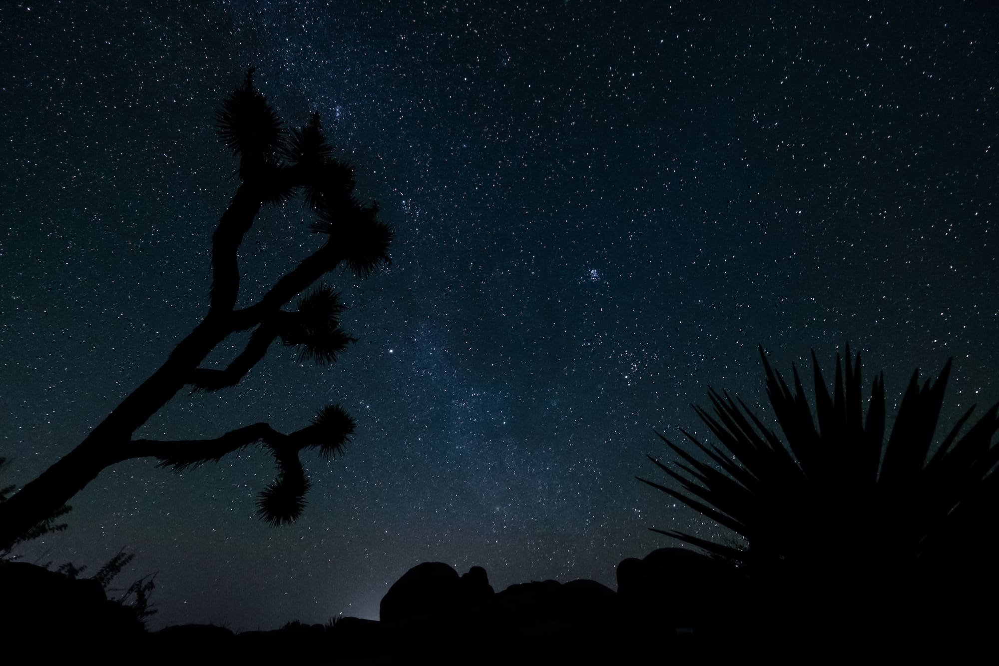
Pro Tip: While all of Joshua Tree is an International Dark Sky Park, the area down near Cottonwood has some of the best skies in the whole park for stargazing.
12. RYAN MOUNTAIN
Ryan Mountain Quick Facts:
Type of Trail: Out & back
Total Mileage: 2.9 miles
Total Elevation Gain: 1,062 feet
Difficulty: Hard
Ryan Mountain is definitely near the top of the list of must-do Joshua Tree hikes, thanks to the cool rock formations and excellent views. While this trail is not that long, it is steeply uphill to the summit of Ryan Mountain. If you can time your hike for sunset, it’s an extra special experience.
13. PANORAMA LOOP
Panorama Loop Quick Facts:
Type of Trail: Lollipop Loop
Total Mileage: 6.6 miles
Total Elevation Gain: 1,194 feet
Difficulty: Hard
Enjoy somewhat cooler temps and a variety of flora on the Panorama Loop Trail which sits at a higher elevation – around 4,000 feet at the trailhead – on the northwestern side of the park. Here you’ll find plenty of pinyon pines and juniper trees, along with the signature Joshua trees.
You’ll also head up a ridge of the Little San Bernardino Mountains to get the expansive panoramic views this trail is named for.
Pro Tip: You can add on a spur to the summit of Warren Peak from Panorama Loop if you like.
14. WARREN PEAK
Warren Peak Quick Facts:
Type of Trail: Out & back
Total Mileage: 6.3 miles round trip
Total Elevation Gain: 1,105 feet
Difficulty: Hard
Head to the 5,103 foot summit of Warren Peak for views of a couple of the tallest peaks in Southern California, Mount San Jacinto and Mount Gorgonio. (Read more about summitting those peaks in our post covering the best hikes in Southern California.)
You’ll take the sandy Black Rock Canyon Trail on the western side of Joshua Tree to reach Warren Peak.
Pro Tip: You can easily combine Warren Peak with Panorama Loop for a few extra miles of fun.
15. BOY SCOUT TRAIL
Boy Scout Trail Quick Facts:
Type of Trail: Point-to-point
Total Mileage: 8 miles one way (16 miles round trip)
Total Elevation Gain: 226 feet
Difficulty: Hard
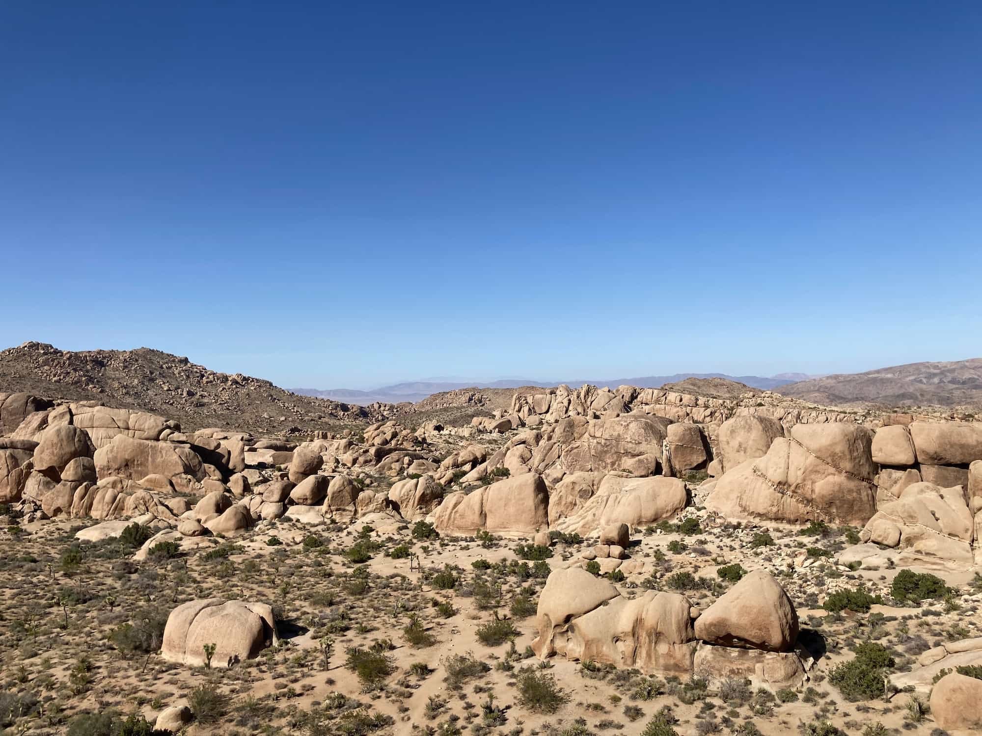
Hiking the Boy Scout Trail is the perfect way to explore the Wonderland of Rocks in Joshua Tree. Just as it sounds, you’ll find jumbles of boulders and fun rock formations all along this trail. You can also see snow-capped mountains in the distance to contrast with desert from this trail.
Backpacking the Boy Scout Trail is a popular way of tackling this trail since it’s 16 miles out and back. Joshua Tree National Park recently changed their backpacking regulations to require a permit. You can find out more about the new permit system in our guide to California Hiking & Camping Permits.
Pro Tip: If you’re going to take this trail one way point-to-point, you’ll need to leave a car at your ending trailhead or plan a ride in order to shuttle back to where you started.
DESERT HIKING SAFETY
Joshua Tree can seem safe because of the crowds at the most popular areas, but the desert is unforgiving and can be quite dangerous if you’re not prepared. Here are some of the biggest hazards in Joshua Tree:
HEAT
Joshua Tree is located where two deserts, the Mojave and the Colorado, meet. The desert environment can be extremely harsh with high heat, little shade, and no water.
You should bring all the water for your hike (typically at least 3-4 liters) into the park with you. Water is only available in the park at a few campgrounds and ranger stations.
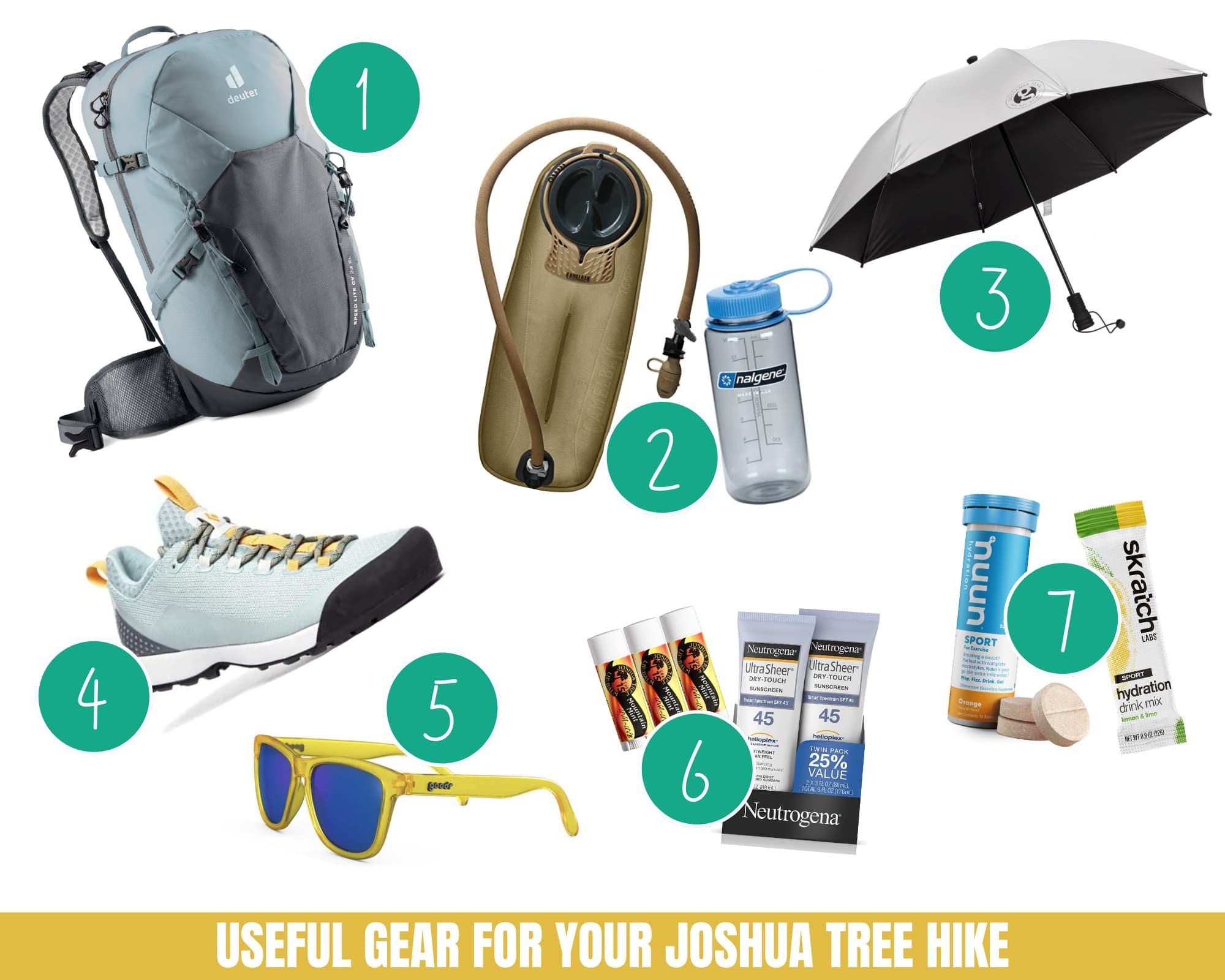
Also, you should use electrolytes in your water to replace the sodium and minerals you lose when you sweat. I typically put electrolytes in my Nalgene and plain water in my hydration bladder. Then I can refill my water bottle from the hydration bladder and add more electrolytes if necessary.
Make sure to bring plenty of sunscreen as well, and don’t forget sunglasses. You should also familiarize yourself with the signs of heat exhaustion and how to treat it before it turns into heat stroke.
NAVIGATION
It is incredibly easy to get off-route when hiking in Joshua Tree, so you should always have a GPS and know how to use it. (Check out my recommended hiking GPS devices here.)
Cell service is spotty in the park, if you get it at all, so make sure to download your maps ahead of time. And if you have an inReach Mini or other satellite communicator, Joshua Tree is definitely a place to bring it.
SCRAMBLING
Other than the iconic Joshua Trees, the main thing you’ll find in Joshua Tree is rocks – little rocks, big boulders, and huge rock formations. On many trails, you might have to – or want to – scramble around on the boulders.
But be careful to avoid getting yourself into a spot you can’t get down from. And make sure to wear shoes with good traction – approach shoes, which have sticky rubber soles made for climbing, are ideal.
RATTLESNAKES
The desert is home to rattlesnakes, and Joshua Tree is no exception. Rattlesnakes are dormant in the cooler months, but are typically active from early spring to late fall.
The best way to deal with rattlesnakes is to avoid them. Always check where you’re putting your hands and feet (like under rocks) to make sure a snake isn’t hiding. If you do see a snake, back away or give it a very wide berth to walk around it. Rattlesnakes typically only strike out of protection, so if you leave them alone, they should leave you alone.
JOSHUA TREE HIKING PACKING LIST
Here are some of the most important things you’ll want to bring when hiking in Joshua Tree, but it is not a comprehensive list. Check out my essential day hiking packing list below for everything you should take on a day hike.
*Please note that some of the below links and in this post are affiliate links.
GRAB MY ESSENTIAL HIKING GEAR PACKING LIST
We're making packing for your next hiking adventure easy. Download our essential hiking gear packing list, and you'll always be prepared when you hit the trails!
LOOKING FOR MORE CALIFORNIA ADVENTURES?
For additional California hiking adventures, check out our resources below:
OTHER ESSENTIAL HIKING RESOURCES:
Also, be sure to check out these helpful hiking & backpacking resources!
How many of these Joshua Tree hikes have you done? Are any of these on your hiking bucket list? Did we miss any of your favorite J-Tree hikes? Let us know in the comments below!
Cheers,
Allison - She Dreams of Alpine
















27 of the Absolute Best Hikes in Yosemite National Park to Put on Your Hiking Bucket List | Yosemite National Park is one of the most beautiful national parks in the entire United States, and one of the best ways to explore the park is via one the many amazing hiking trails. In this post, I’ve detailed 27 of Yosemite’s top hiking trails, ranging from difficult to easy, that give you epic views of Yosemite’s grand backcountry and some of Yosemite’s most famous landmarks. You’ll only fall more in love with Yosemite after going on one of these hikes! | shedreamsofalpine.com